Measured Survey in North London by Surveyors from Ambit Surveys
- Artur Manzyukov

- Apr 15, 2021
- 1 min read
Updated: Aug 12, 2024
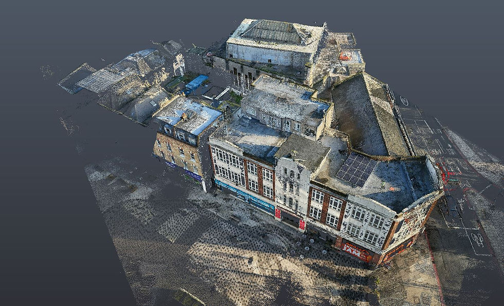
Accurate Drawings by Chartered Surveyors from Ambit Surveys: Floor Plans, Elevations, and Sections were produced from the registered point cloud.
Measured Survey in North London by Surveyors from Ambit
Measured Survey in North London by Surveyors from Ambit Surveys. Because of our expert knowledge in HD laser scanning, in every one of our surveys, 360° laser scans are always accurately and coherently linked to each other and brought into a common reference grid system. Aligned - registered they form one accurate 3D Measurement Point Cloud, which is used to create our 2D drawings or 3D BIM models.


